Research areas
elic | Louvain-la-Neuve

Source NASA, http://pics-about-space.com/
Climate system dynamics
Study of past, current and future climates using a system dynamics approach and a combination of observations and models of different complexities.

Theory and methods
in climate and palaeoclimate dynamics
(M. Crucifix)
We address mathematical and statistical aspects of climate and palaeoclimate dynamics, with references to dynamical system theory, experiments with general circulation models, Bayesian inference and time-series analysis methods to characterise the dynamics of the climate system, estimate its predictability and identify physical mechanisms of variability.

Modelling climate-cryosphere interactions (T. Fichefet)
A variety of models, including the Louvain-la-Neuve sea ice model, are developed and used in combination with observations to improve our understanding of sea ice processes and variability as well as our ability to perform predictions of sea ice and its interactions with the rest of the climate system on sub-seasonal-to-decadal timescales.

Decadal to centennial climate variability (H. Goosse)
Observations and model results are combined through data assimilation to reconstruct past changes over the last century to millennia, to understand the mechanisms responsible for those changes and predict future variations. A particular focus is put on Antarctica and Southern Ocean dynamics.

Climate dynamics at astronomical time scale (Q. Yin)
Both geological observations and climate models of different complexities are used to reconstruct and understand global and regional climate changes of the past million years with a focus on interglacial climate having in mind a better understanding of our future global warming. Special focuses are also on paleo-monsoon dynamics and on interactions between soil and climate.
Land use and globalization
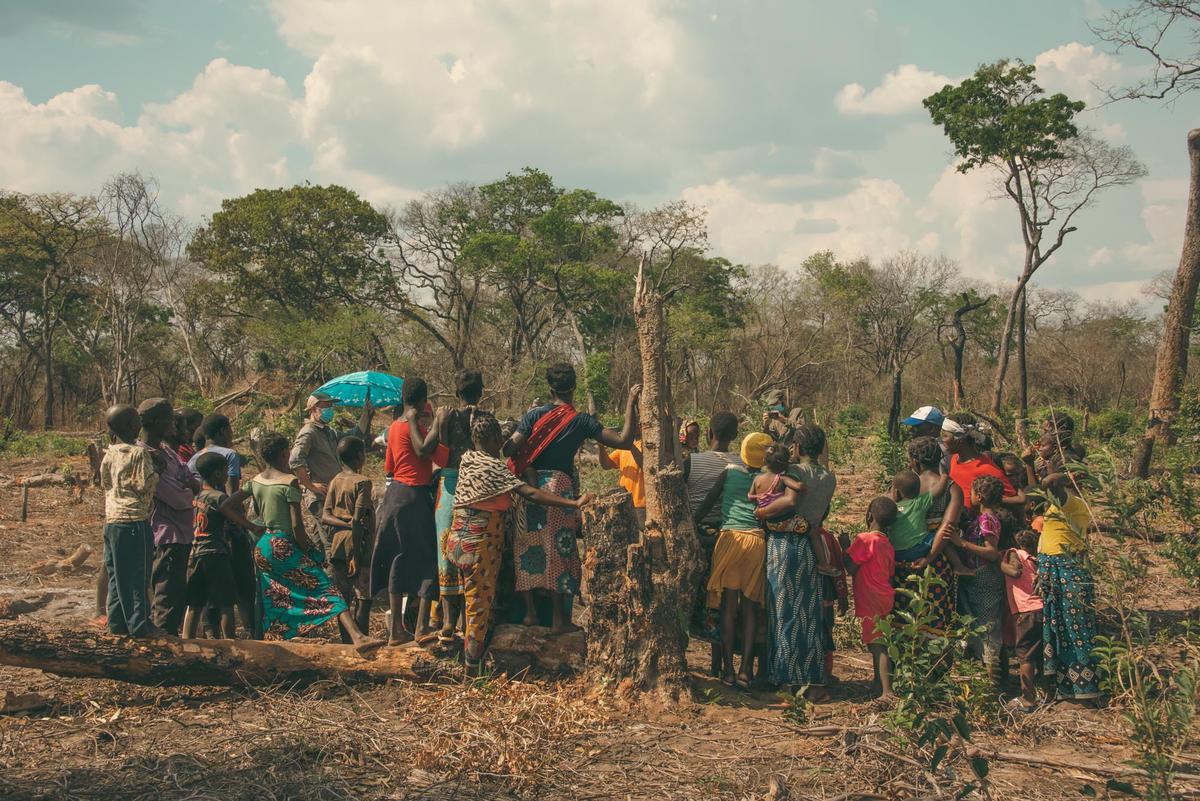
Study of land use dynamics in the globalization era, with a focus on tropical forests and agricultural changes, on land use displacement across countries, and health impacts of land use.

Land use transitions (P. Meyfroidt, E. Lambin)
We analyze causes and impacts of land use transitions including forest transitions - national-scale shifts from net deforestation to net reforestation, - and emerging agricultural frontiers, combining remote sensing, GIS, census and trade data.

Land use governance (E. Lambin, P. Meyfroidt)
We study the design and effectiveness of public and private policies to promote sustainable land use, including zero deforestation commitments by global coalitions of private companies, governments and non-governmental organizations.

Land use and health (S. Vanwambeke)
We study how land use and other environmental determinants affect health, with a focus on vector-borne and zoonotic diseases in tropical and temperate areas, using concepts and techniques from spatial epidemiology and ecology.

Land Systems for Sustainability (P. Meyfroidt, E. zu Ermgassen)
We study land use transitions, i.e. non-linear land use dynamics at broad scale such as forest transitions and emergence of land use frontiers; linkages between globalization and land use including how supply chain transparency and interventions can halt deforestation; theories of land system change; and social-ecological feedbacks.
Soil, sediment and nutrient fluxes
Study of soil, sediment and nutrient fluxes over timescales ranging from the decade to the millennium, with focus on the sensitivity of soilscapes to climate and human disturbances. The research involves experimental studies, field and laboratory measurements and numerical modeling.
Fate of soil C in eroding landscapes (B. Van Wesemael, K. Van Oost)
We monitor changes in soil carbon content to quantify soil-atmosphere CO2 fluxes and changes in soil quality. Vertical and lateral fluxes of sediment and carbon.
Cosmogenic radionuclides as a tool to constrain geomorphic process rates (V. Vanacker)
We use in-situ produced (Al-26, Be-10) and meteoric (Be-10) cosmogenic radionuclides to constrain dates and rates of geomorphic processes including physical erosion and denudation rates of mountain regions, and chemical weathering rates of the critical zone.
Very high resolution remote sensing of soil and terrain attributes (B. Van Wesemael, K. Van Oost, V. Vanacker)
We develop UAV-based techniques to monitor 4D changes in soil and terrain attributes using UAV-SfM (structure from motion) techniques. Hyperspectral remote sensing techniques are being developed for up-to-date soil carbon estimates using the future generation of satellites.